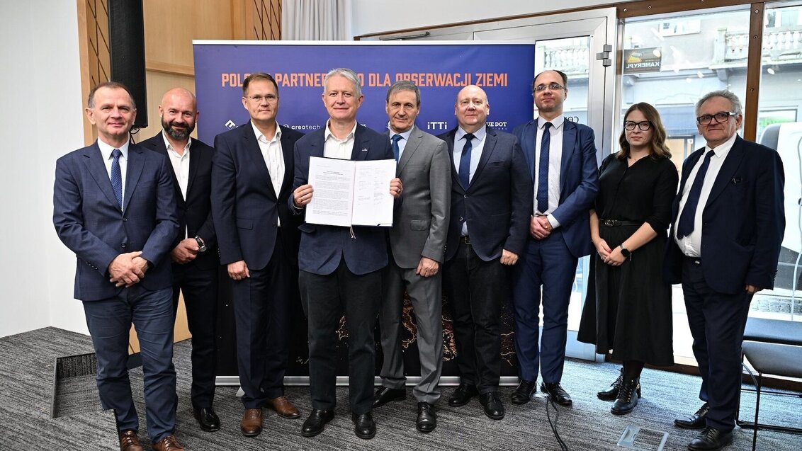
The AGH University Space Technology Centre has just jointed the newly-established Polish Partnership for Earth Observation along nine other institutions. The signatories of the agreement concluded on 24 October 2024 will jointly create new Earth imaging technologies and develop domestic space strategy.
The objective of the Polish Partnership for Earth Observation is to strengthen collaboration among national companies and scientific and educational institutions in shaping Poland's space policy and developing new technologies related to imaging our planet. The partnership aims to build Poland's autonomous capabilities as a European leader in satellite Earth observation.
This initiative responds to the growing importance of satellite data in the economy and security sectors. Joint actions are intended to be a strategic step towards enhancing Poland's autonomy in the area of satellite Earth monitoring.
The partnership involves three scientific and educational institutions: the AGH University Space Technology Centre, the Space Research Centre of the Polish Academy of Sciences, and the Centre for Scientific Geospatial Analyses and Satellite Computations. Seven companies have also joined the collaboration: CloudFerro, Creotech Instruments, KP Labs, ITTI, Blue Dot Solutions, GISPartner, and Eycore.
The signatories have committed to joint efforts to develop Poland's capabilities in Earth observation, which will contribute to building Poland's autonomy in this field, enabling effective responses to geopolitical and environmental challenges.
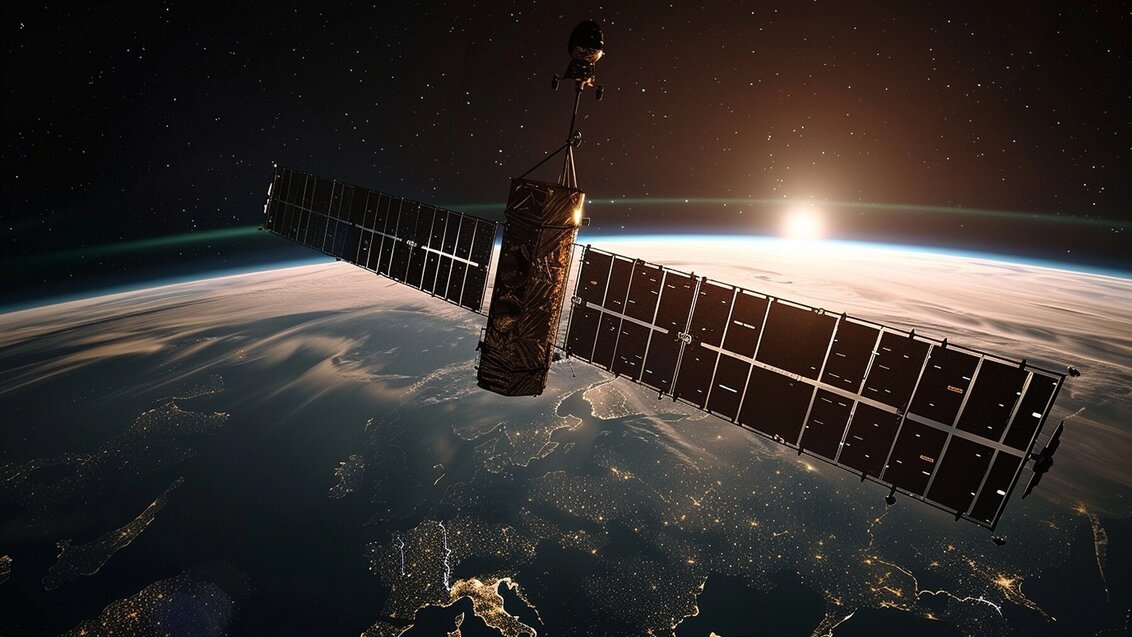
Earth observation is extremely important at both the national and global levels, impacting strategic sectors such as crisis management, climate monitoring, agriculture, and defence. Satellite observations provide real-time insights into conditions on the Earth's surface, allowing for the creation of maps, weather forecasting, analysis of the Earth's structure, and assessment of crop and ecosystem conditions.


 Projects by AGH University Main Library with funding from Scientific Social Responsibility programme
  On energy transformation and more. Distributed Energy Congress
  Polish natural hydrogen initiative. AGH University concludes an agreement
  Honouring those we lost this year
  AGH Solar Boat the best in Sardinian competition
  AGH University Alumni Day 2024
  AGH University to establish AI Factory

